Photo album
Icelandic Waterfalls, Glaciers & Black-Sand Shores: From Sprengisandur to Kirkjubæjarklaustur
About this album
Photographed in June 2026, this journey follows Iceland from the wild highlands around Sprengisandur south and east to Kirkjubæjarklaustur. Volcanic plains, Icelandic horses, thundering waterfalls, ash-streaked glaciers, black-sand shores and moss-covered canyons reveal a landscape continually shaped by fire, ice, wind and water.
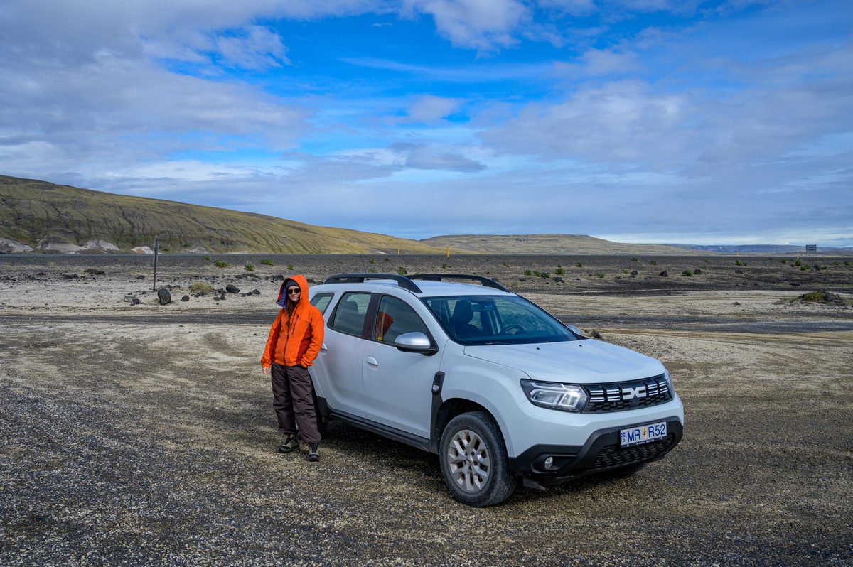
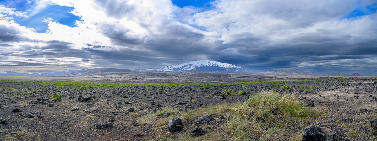
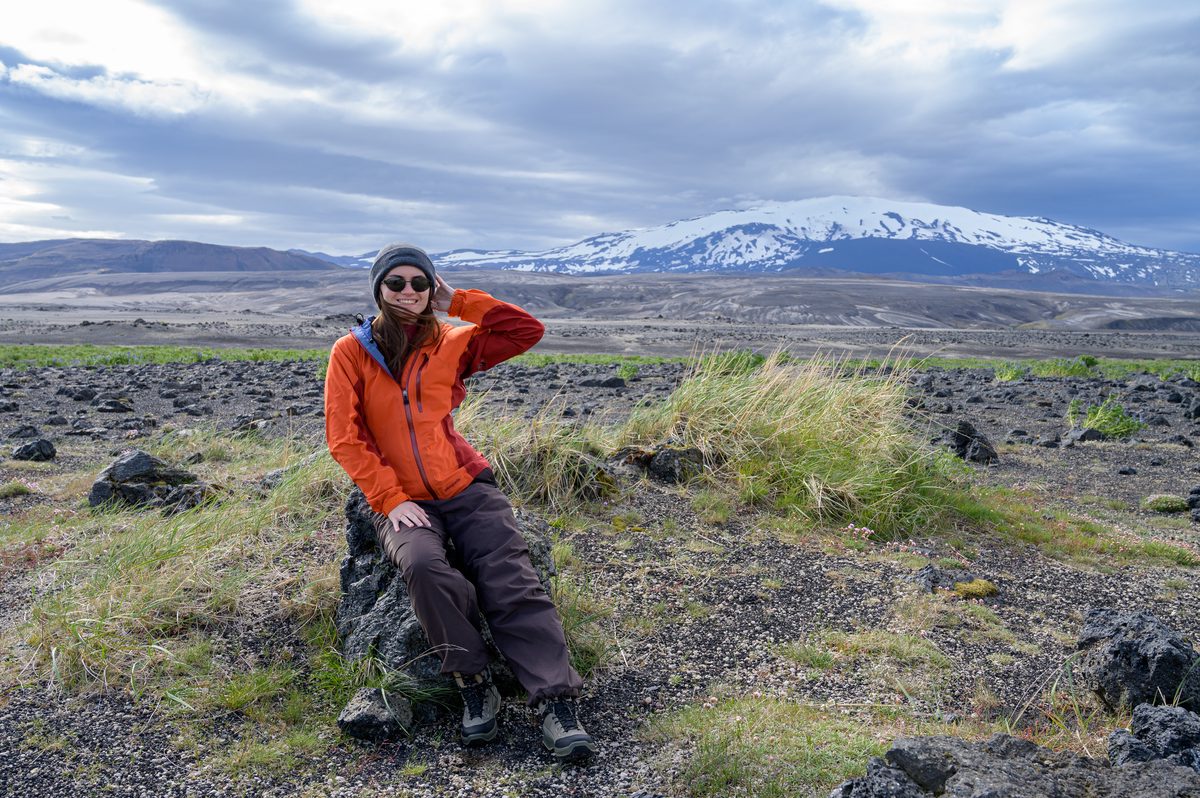
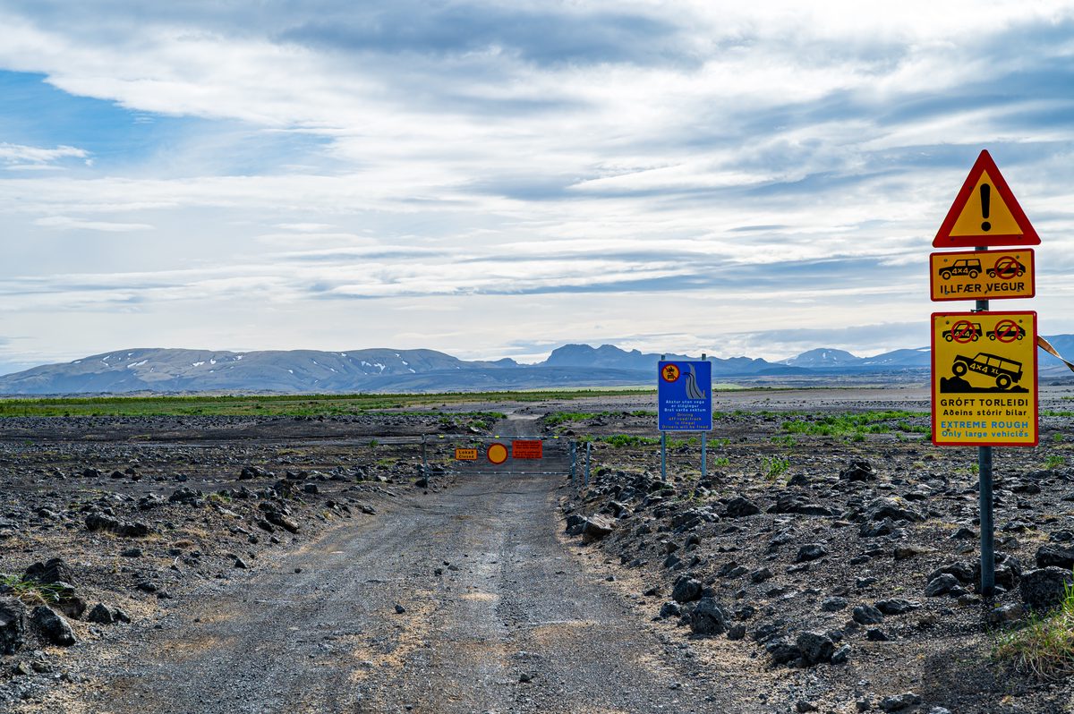
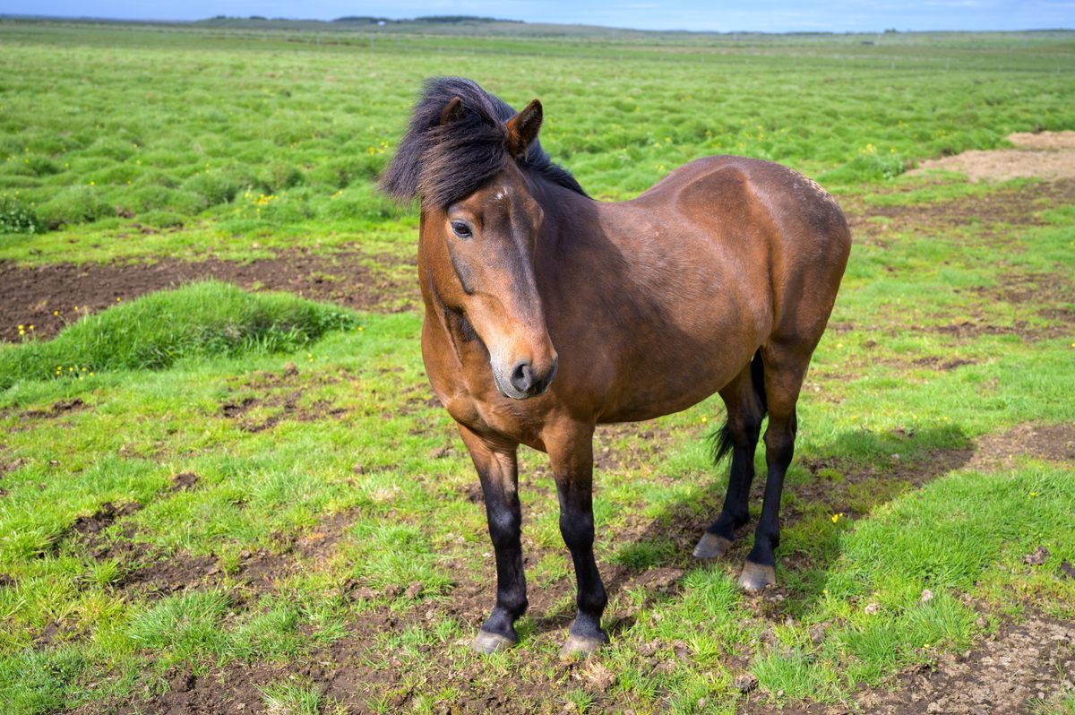
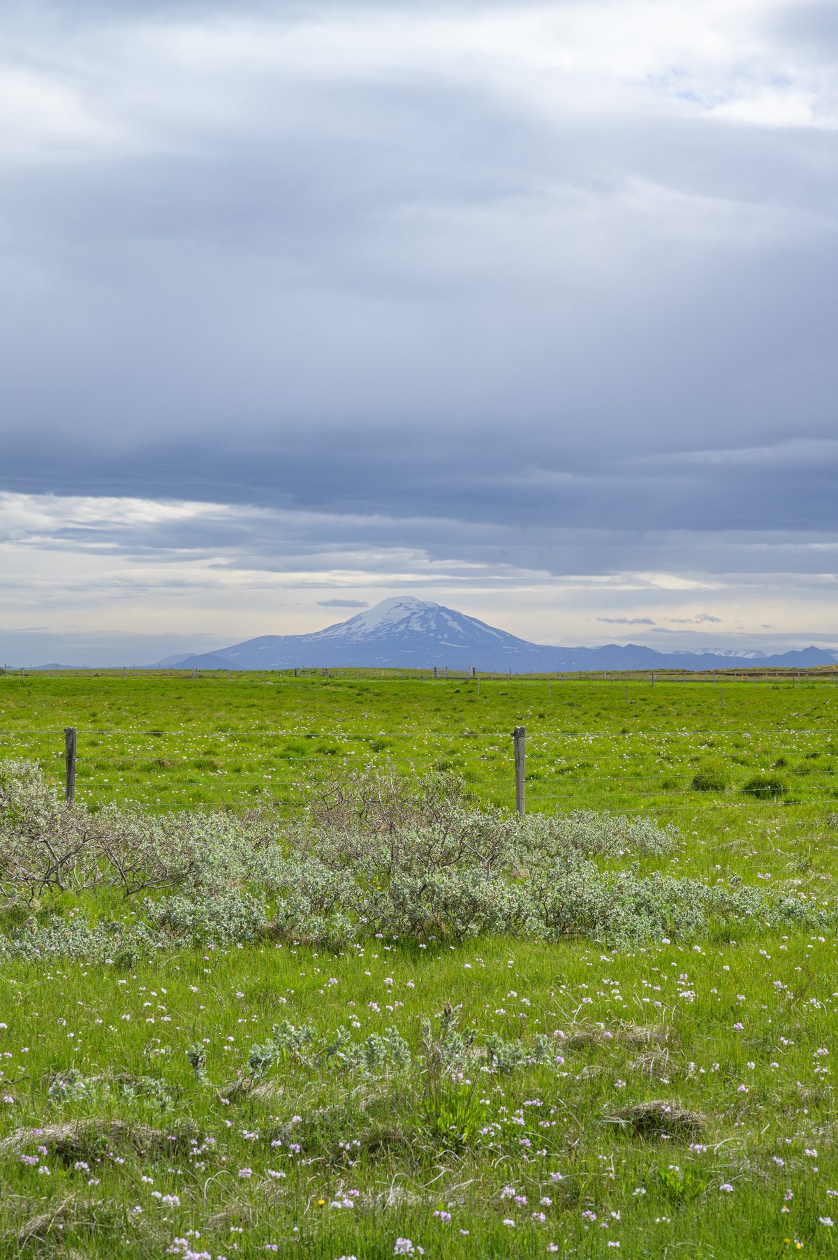
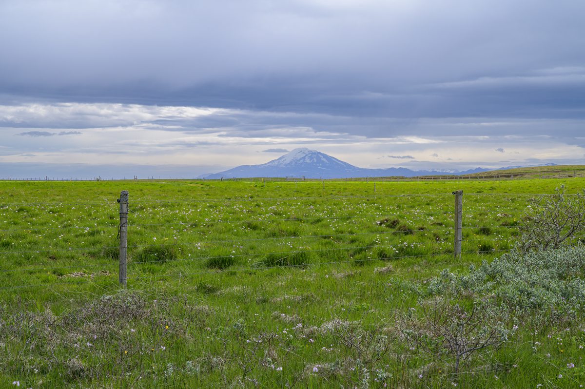
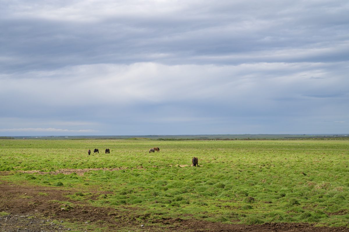
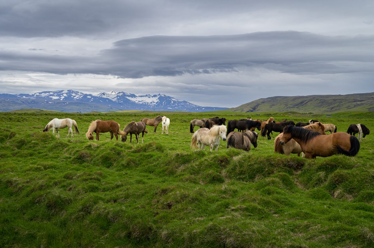
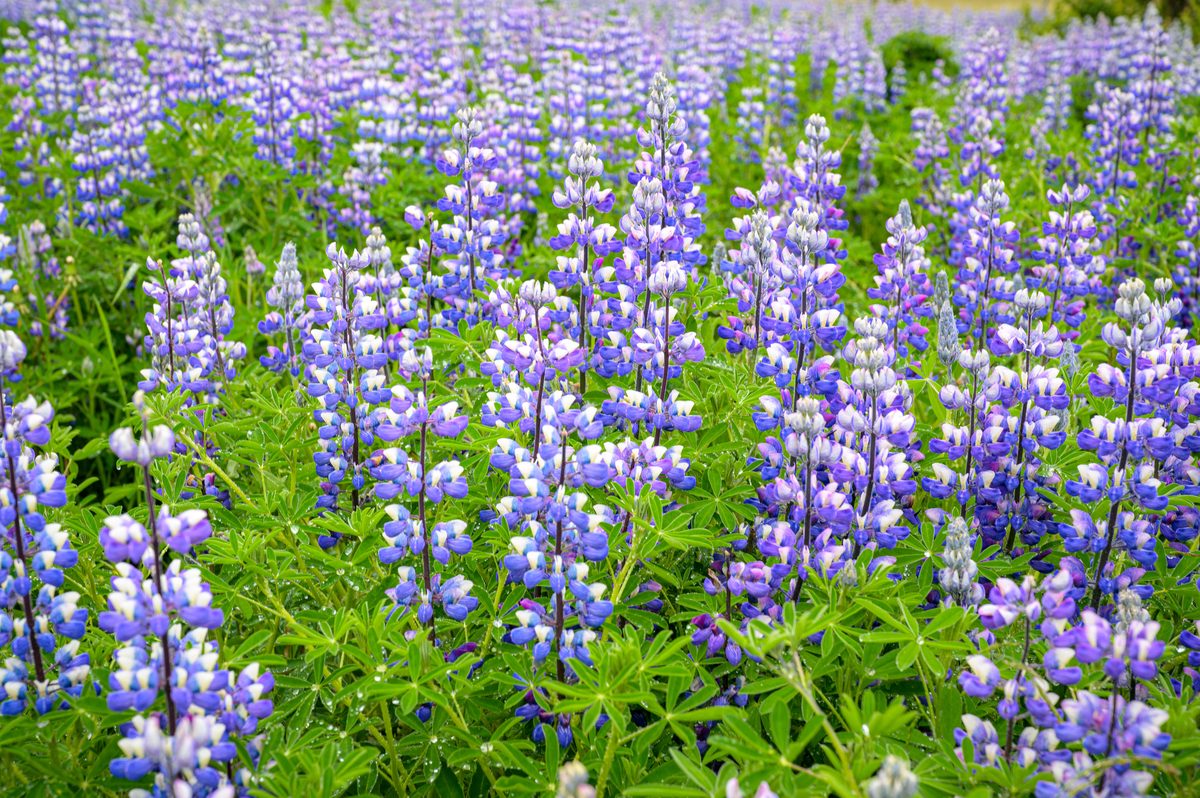
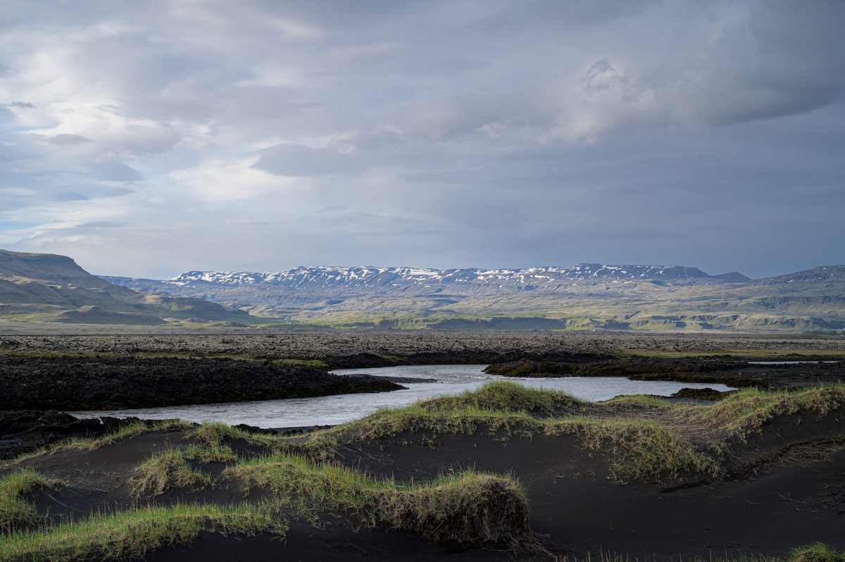
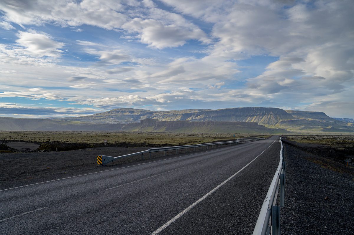
The second day began amid the vast, exposed landscapes around Sprengisandur, where roads cut through dark volcanic ground and snow-streaked mountains waited beneath shifting clouds. It was a landscape that felt almost empty—until patches of brilliant grass, roadside lupines and herds of Icelandic horses brought sudden color and life.
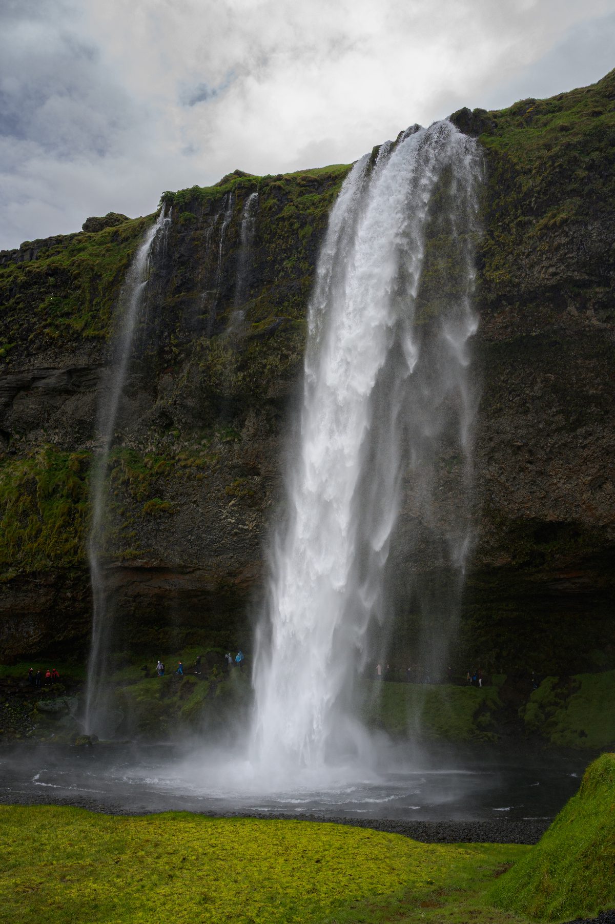
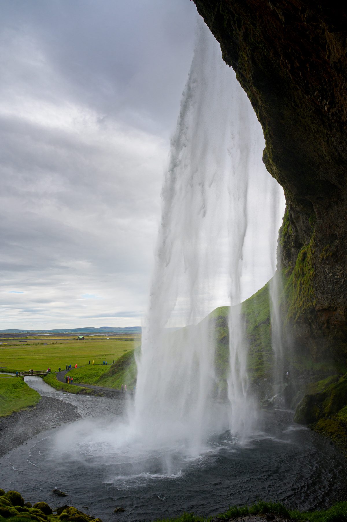
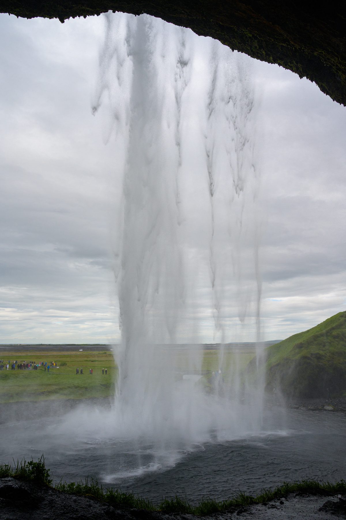
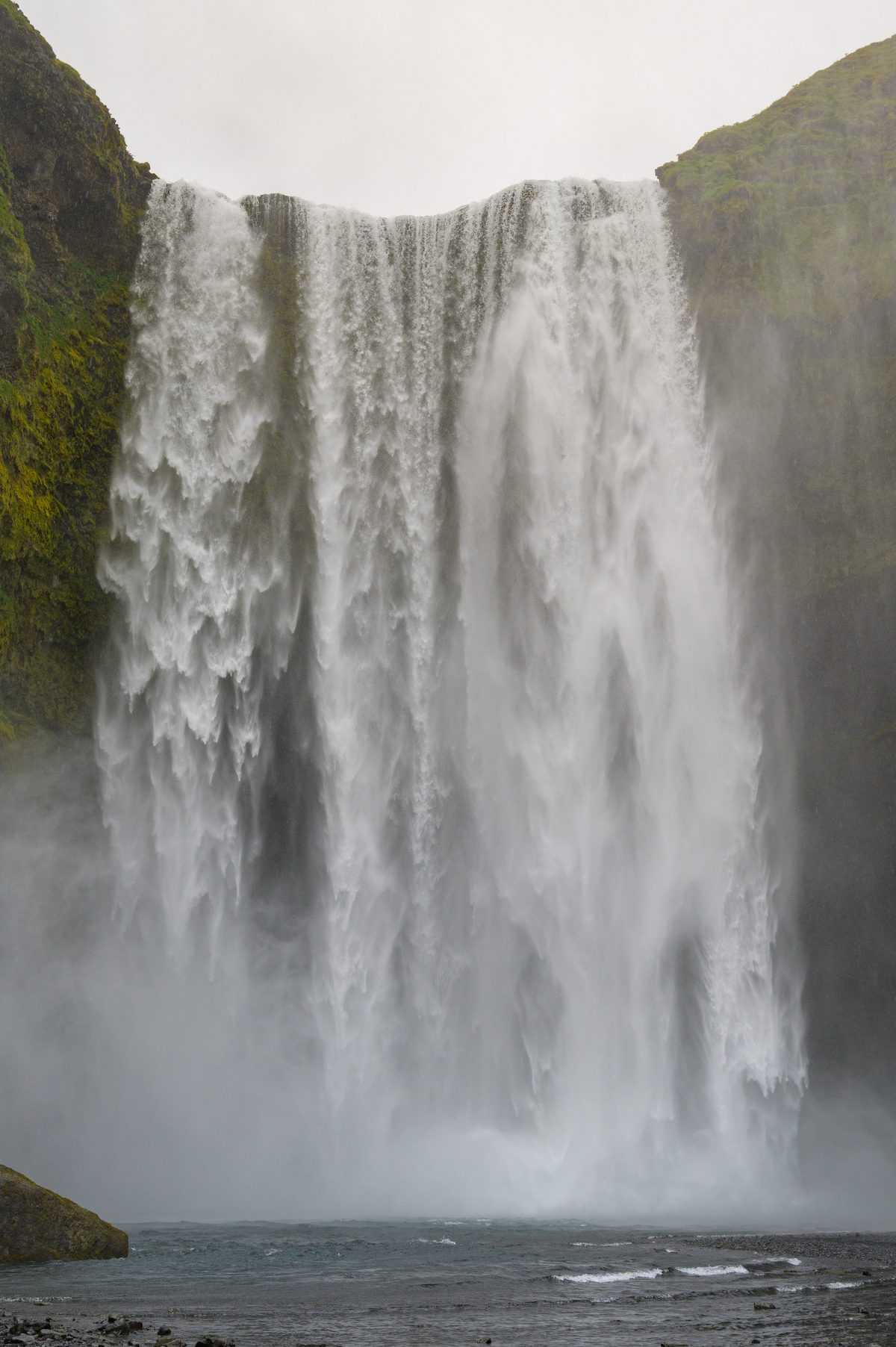
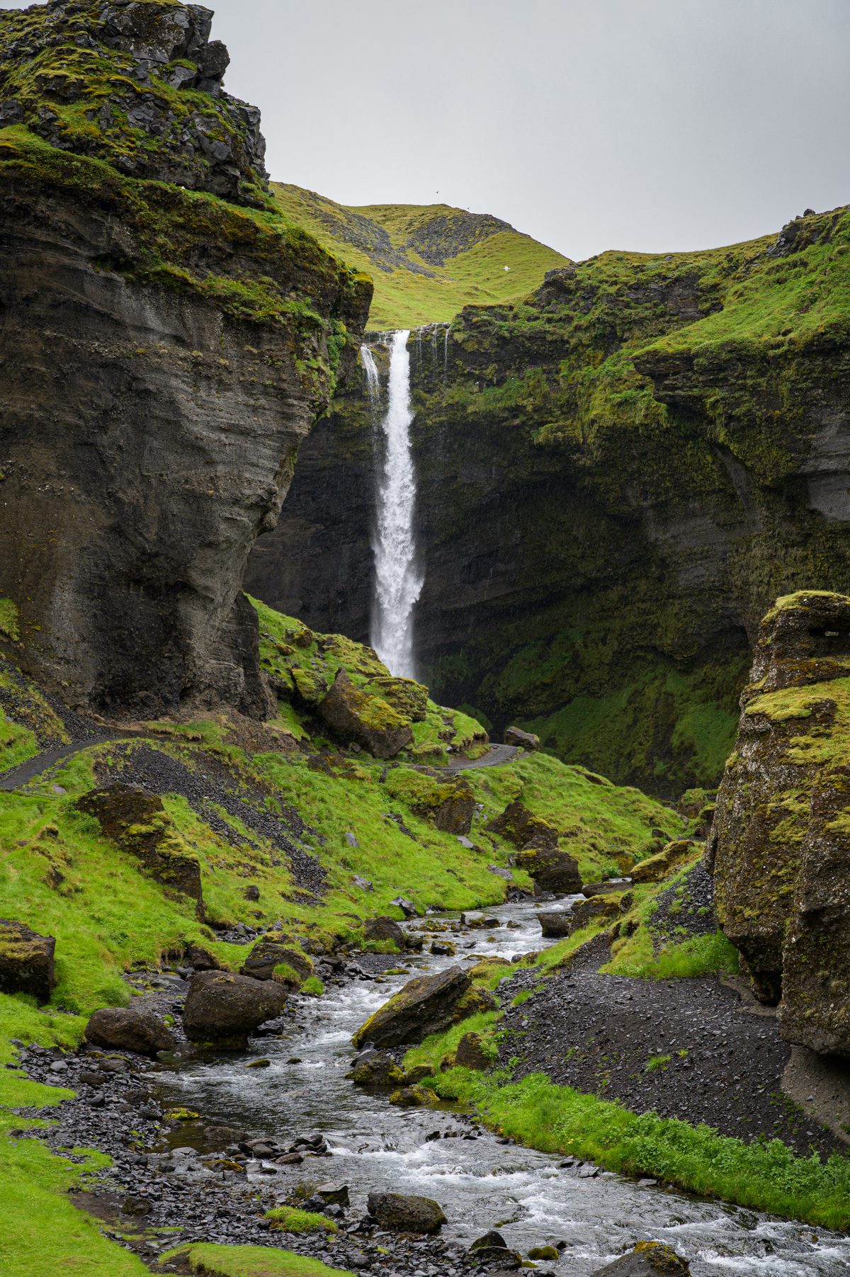
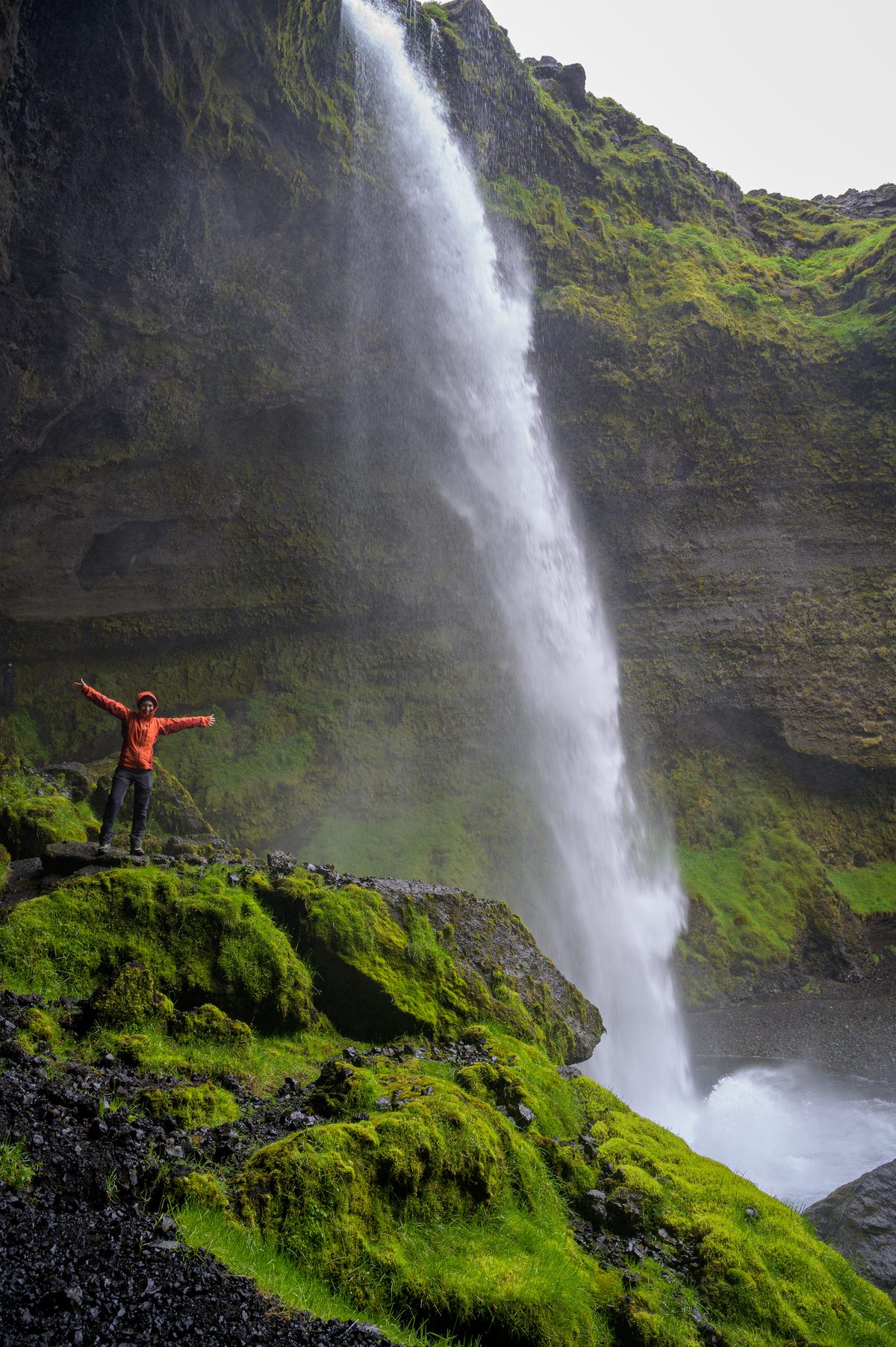
Heading south, water became the defining feature of the journey. Seljalandsfoss fell like a translucent curtain from the cliffs, offering a path behind its roaring cascade. Skógafoss thundered into clouds of spray, while Kvernufoss waited in a quieter, moss-lined gorge nearby.
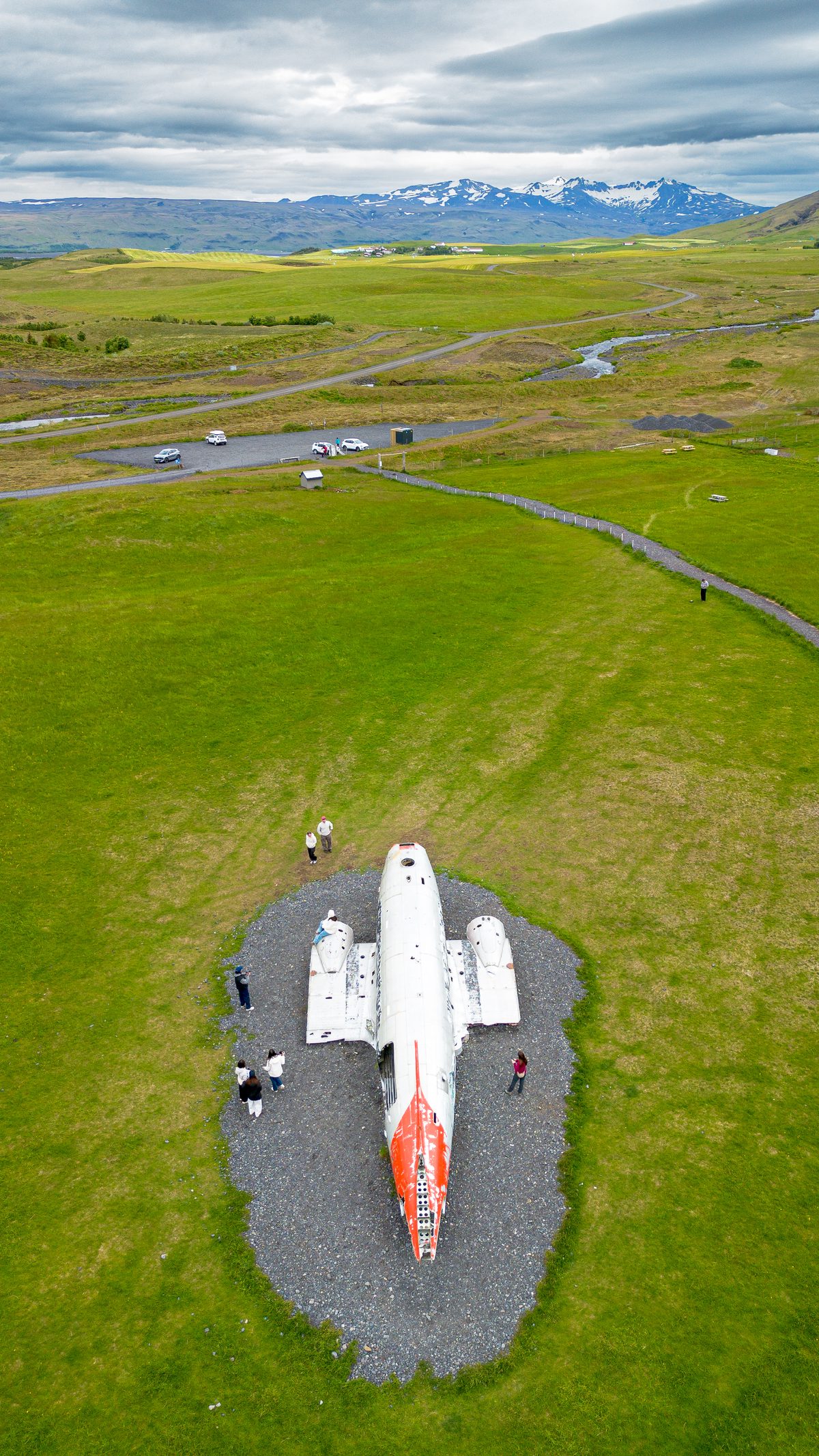
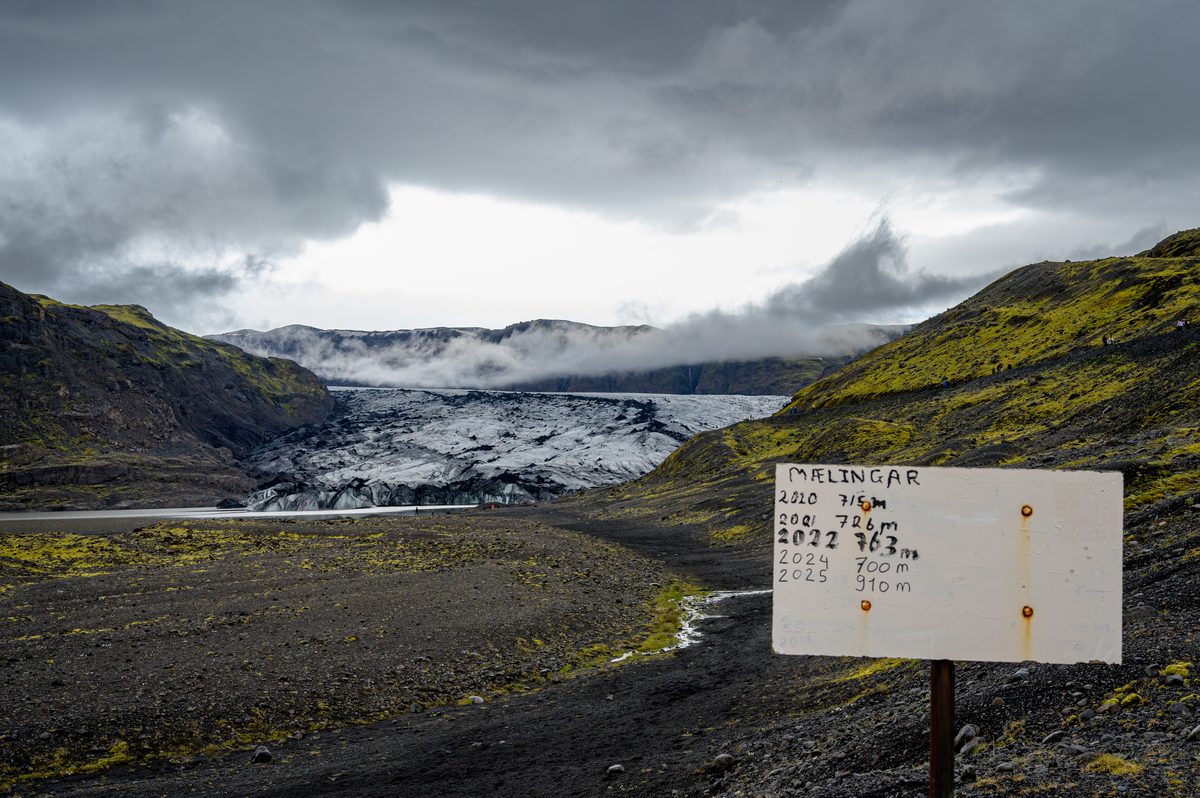
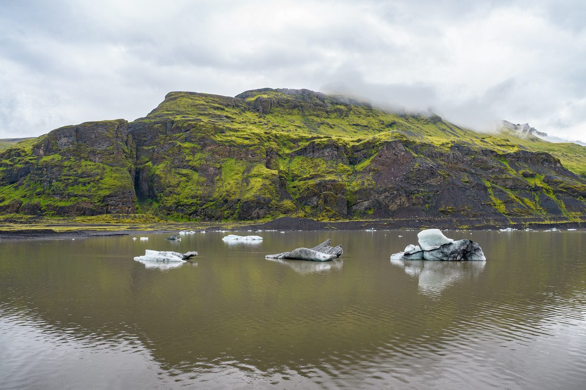
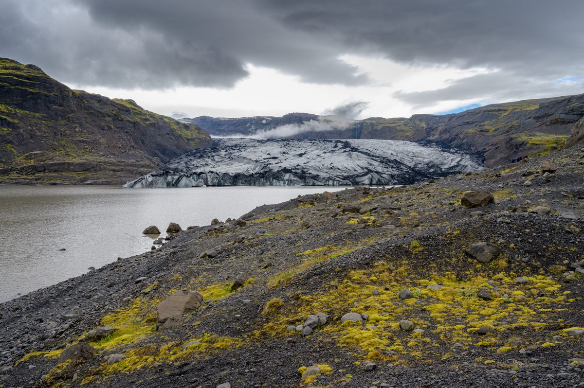
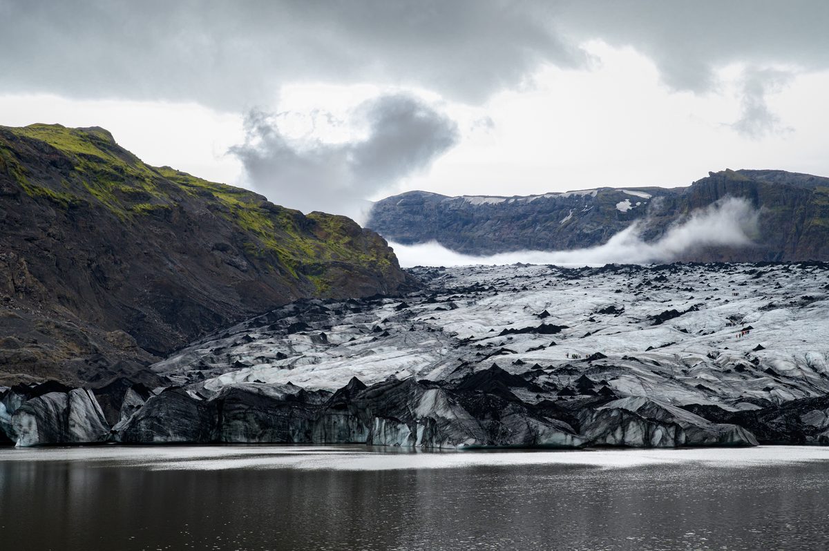
Farther along the coast, the landscape changed again. At Sólheimajökull, black volcanic ash traced patterns across fractured ice, and small icebergs drifted through the glacial lagoon. Nearby, the abandoned aircraft at Sólheimasandur rested in an unexpectedly green expanse—a stark reminder of how quickly Iceland’s weather and scenery can transform.
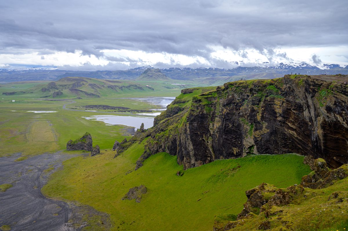
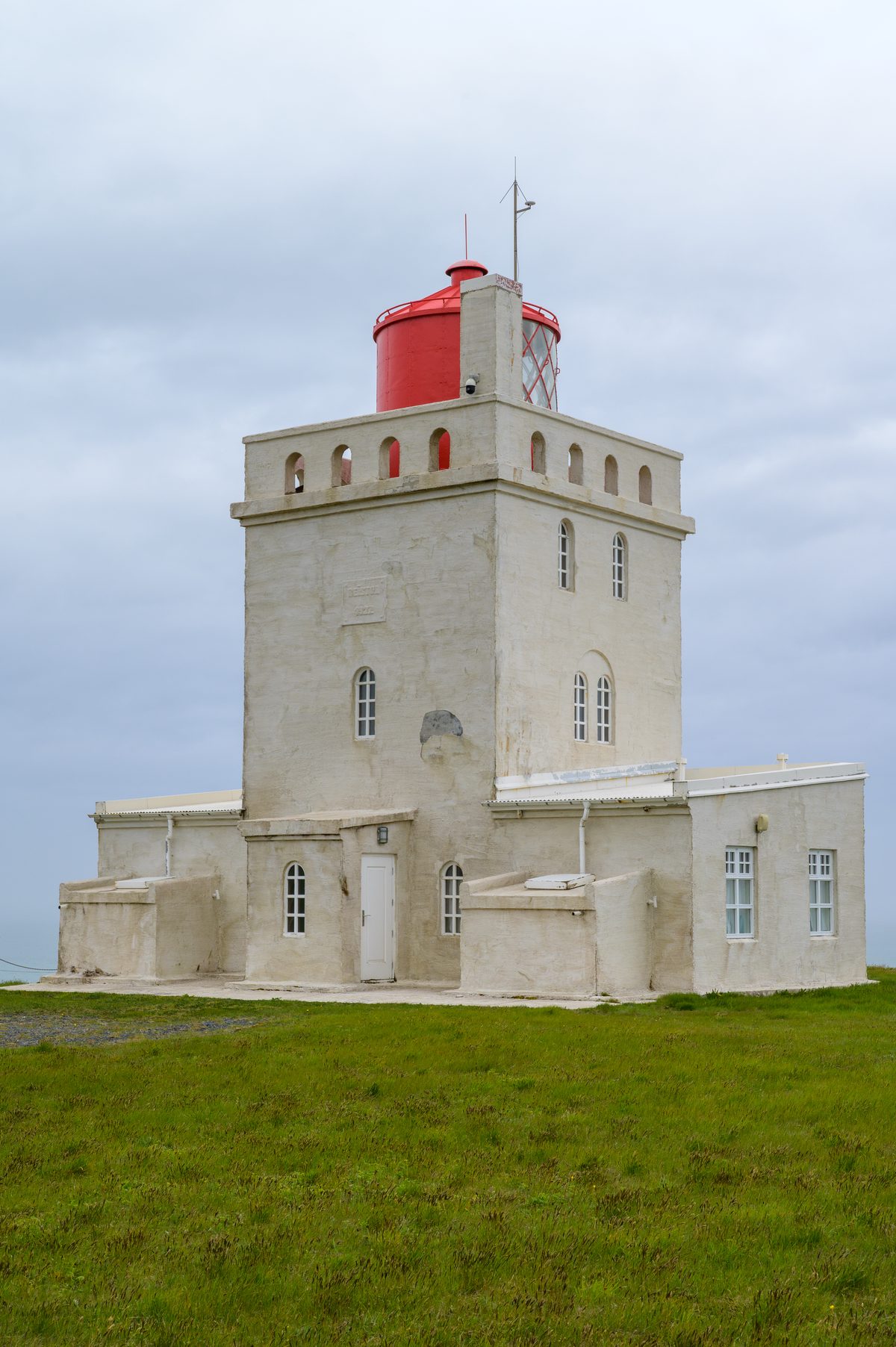
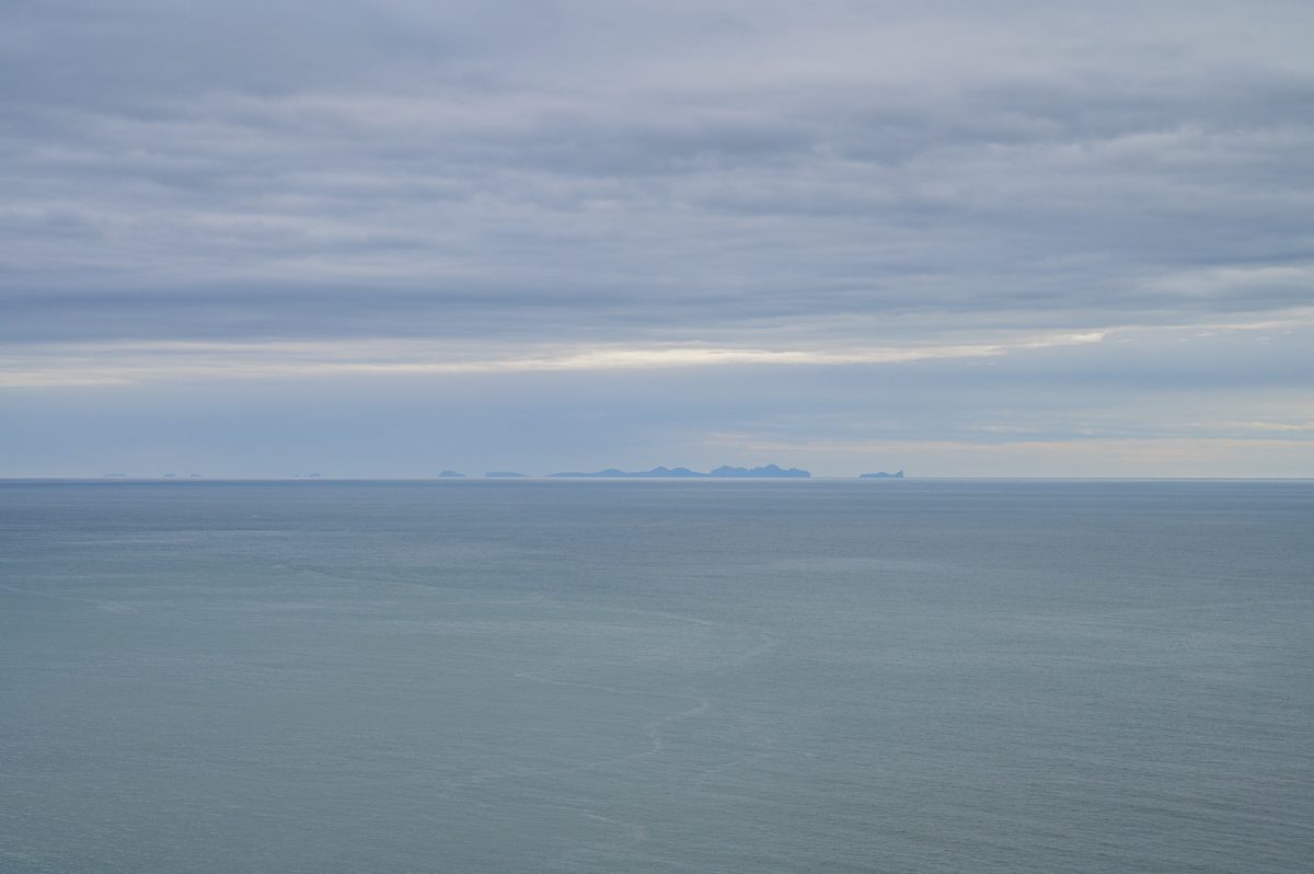
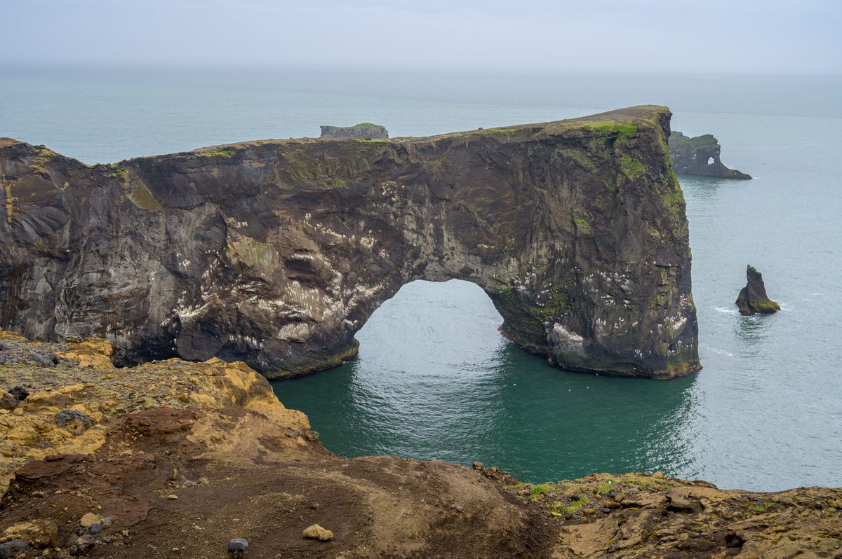
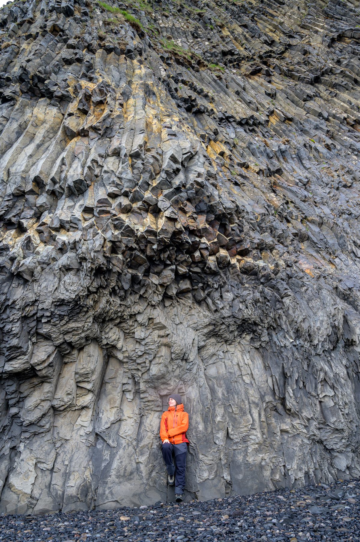
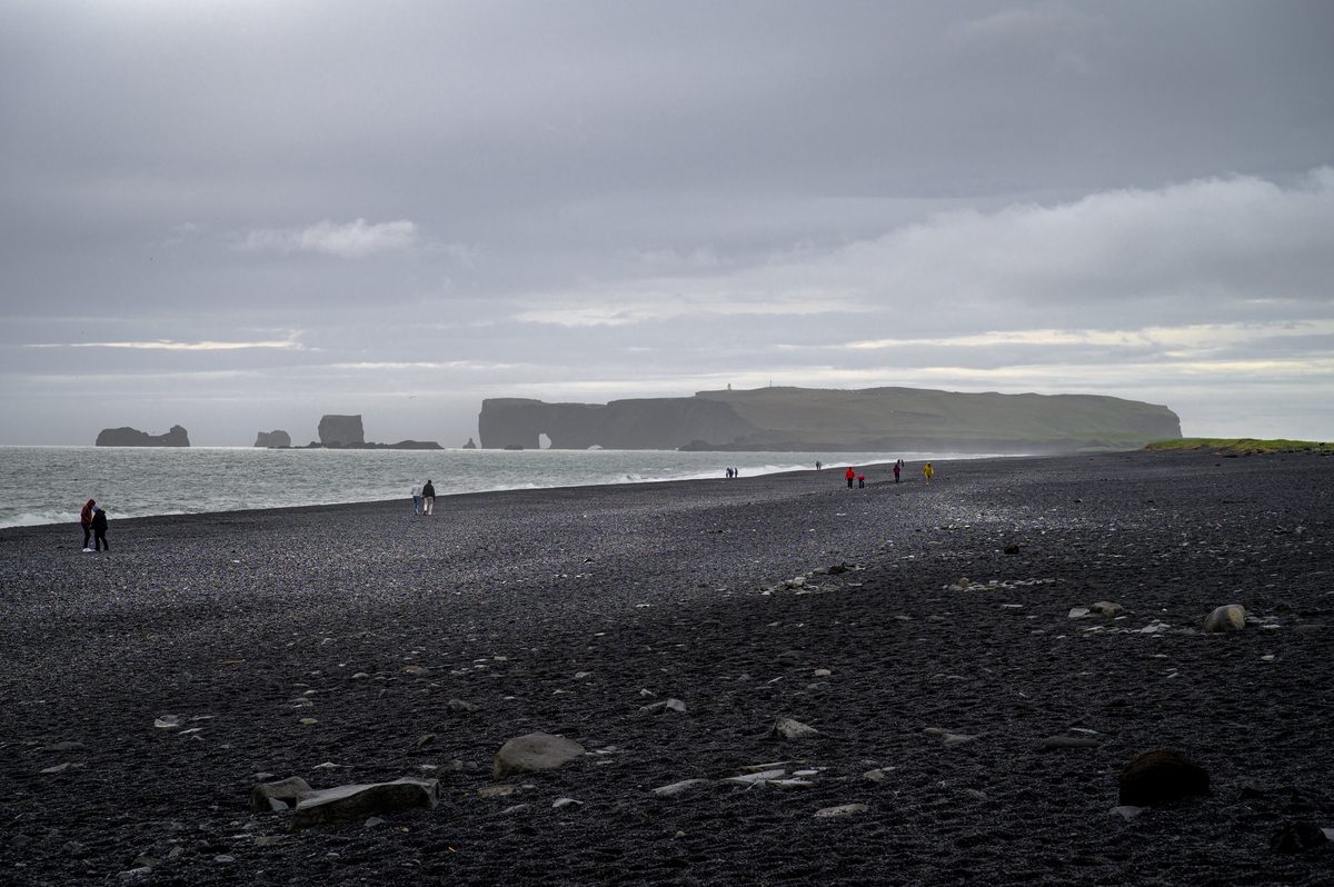
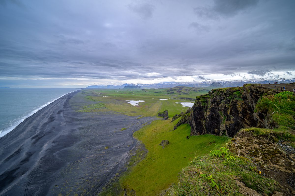
From the cliffs of Dyrhólaey, the black-sand coast stretched toward distant mountains and the Westman Islands faded into the mist. Sea arches, basalt columns and dark beaches marked the meeting place of volcanic rock and the North Atlantic.
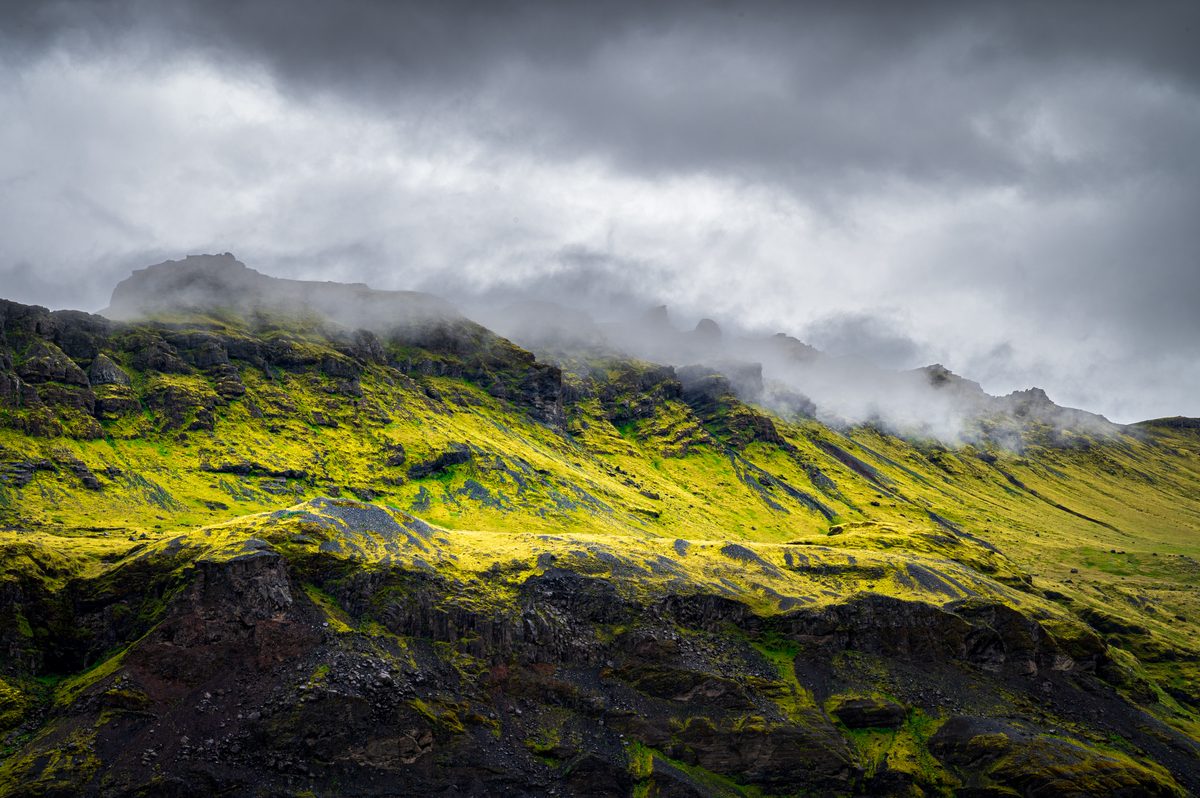
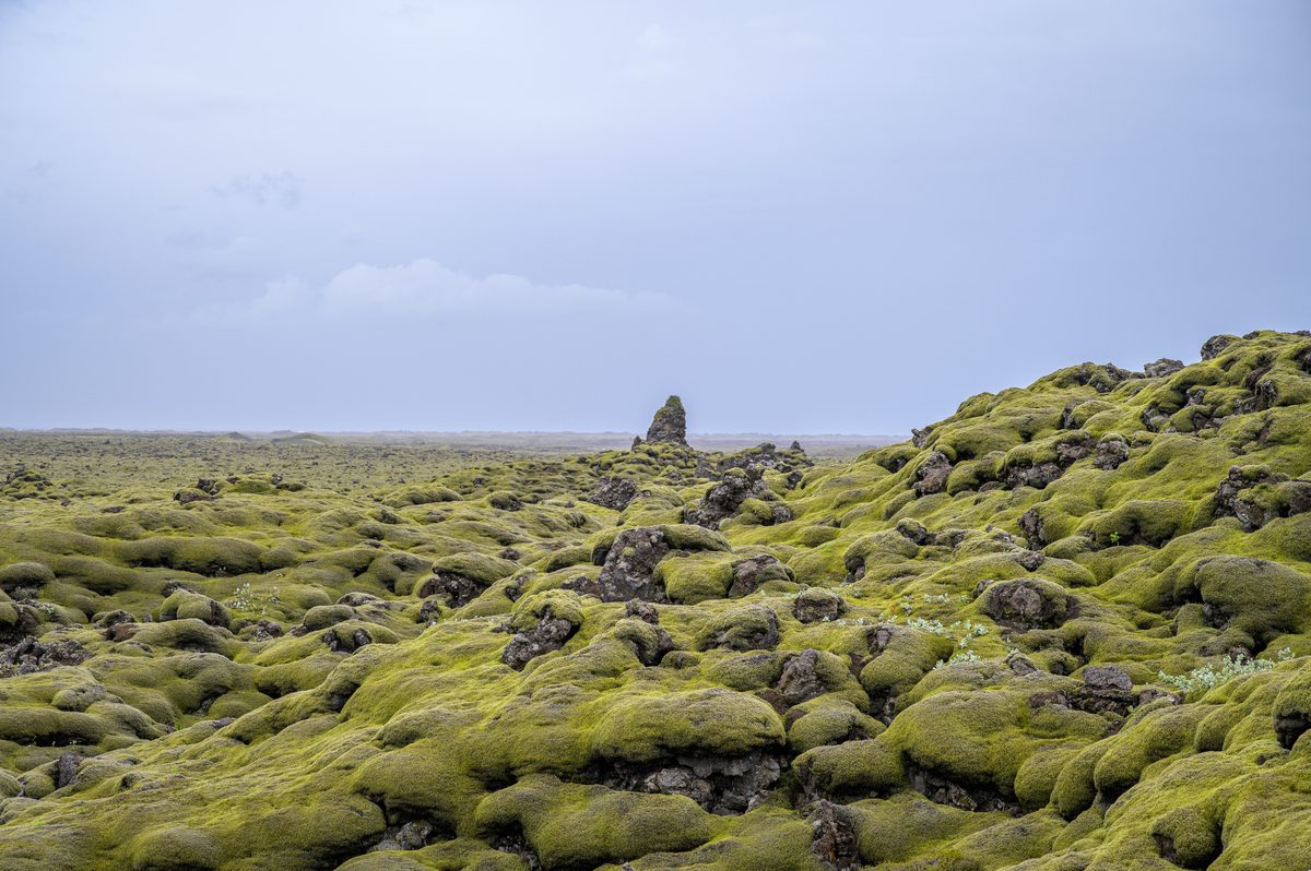
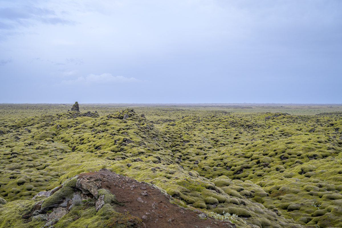
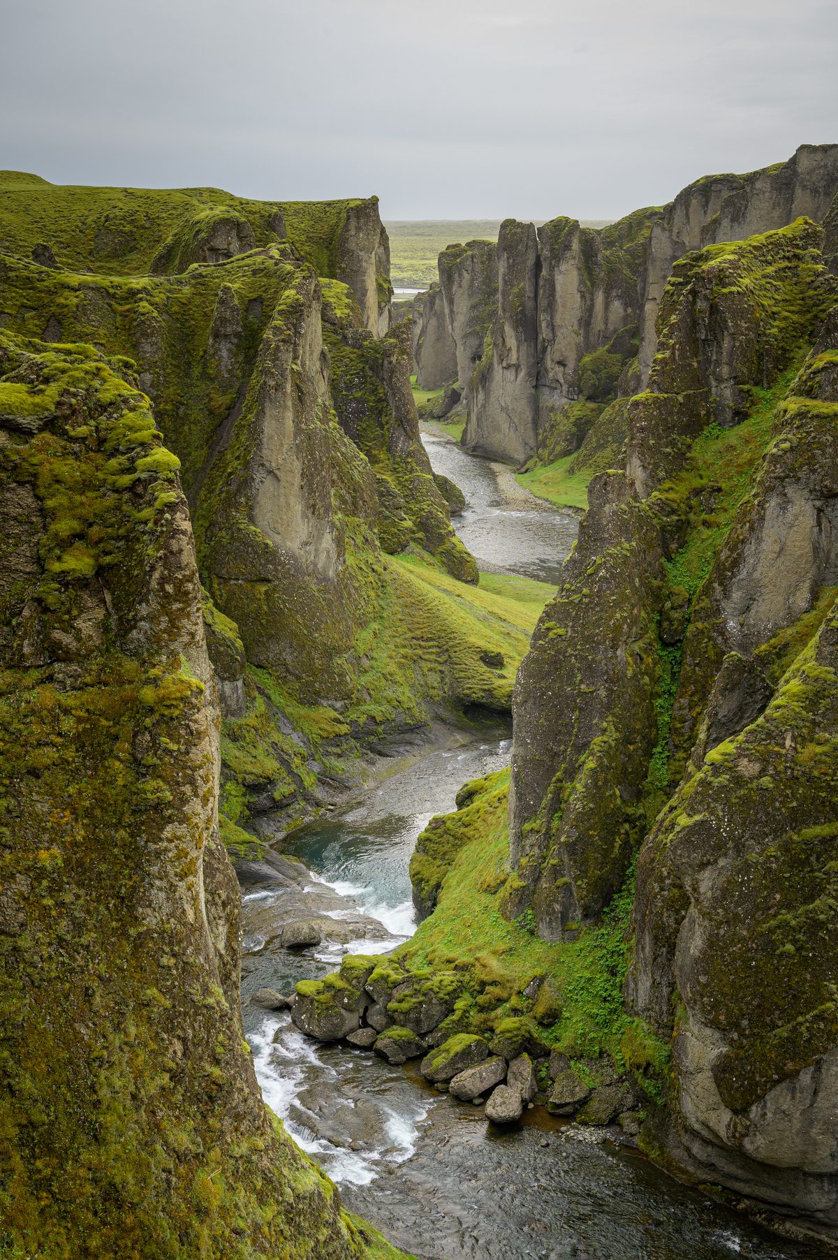
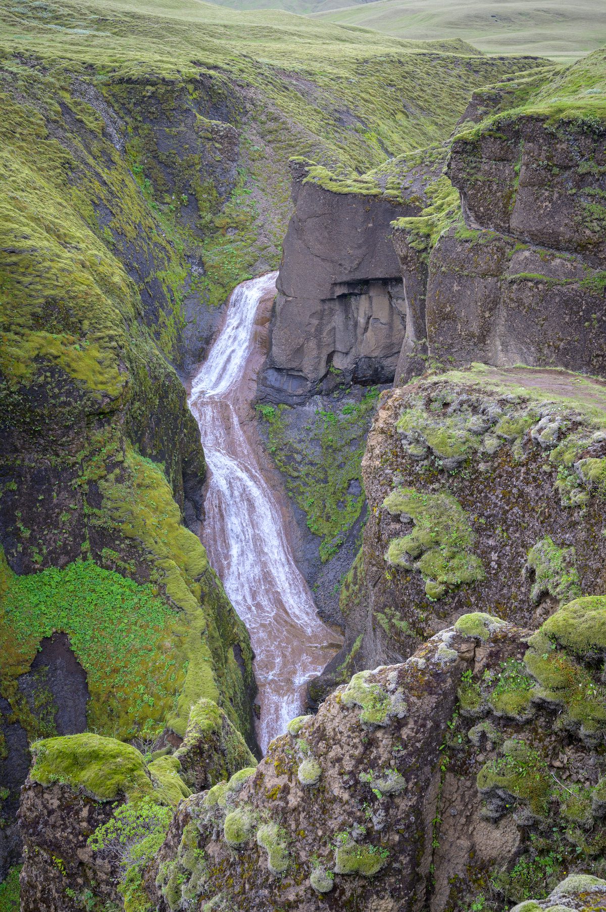
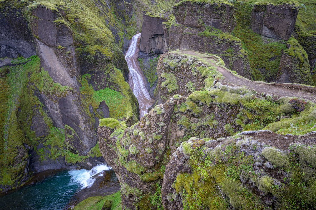
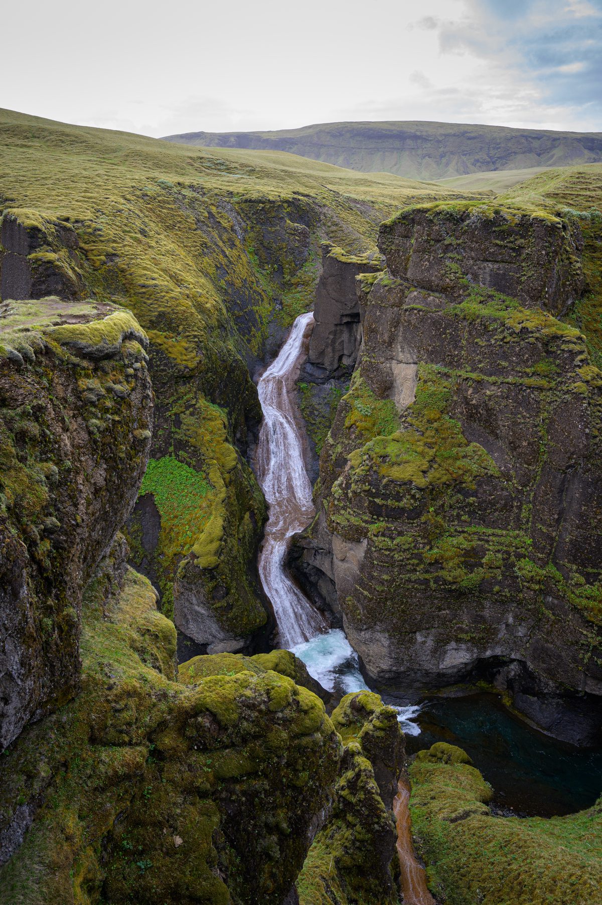
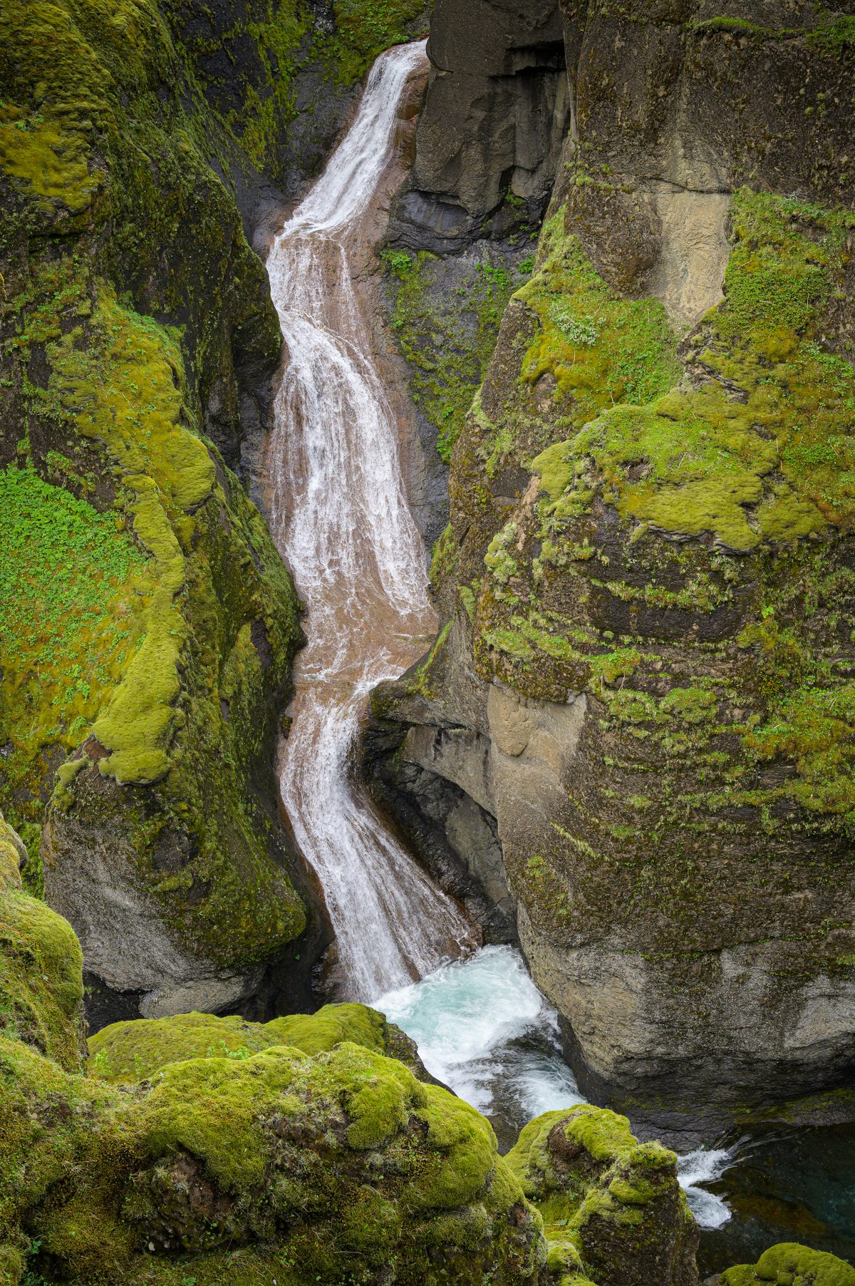
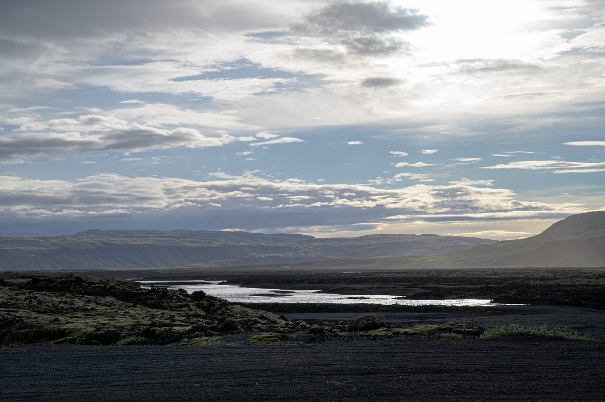
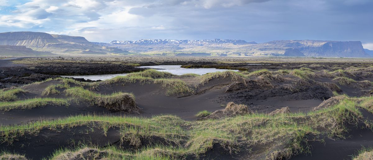
The road east continued through soft, moss-covered lava fields and into the sculpted depths of Fjaðrárgljúfur, where waterfalls twisted between narrow canyon walls. As the day approached Kirkjubæjarklaustur, evening light moved across braided rivers, black sand and broad mountain ridges—bringing an unforgettable journey through fire, ice and water to a quiet close.